


 |
| Plat Map from Library of Congress |
These maps typically contain the names of the land owners before most plots were carved up for various uses. It's fascinating to look through those and find names you're quite familiar with. Many have become street names, names of schools, neighborhoods, etc.
They also tell the story of what things used to be. For example, before Marketplace was a mall it was an airport. Before it was 490 it was a subway/trolley line. Before that it was a canal!
I highly recommend spending some time looking through these maps and find your house, your place of employment, your old high school, and look around it. See what's changed. See what's stayed the same!
The Plat maps only take us to a certain point in time. Why is that? My guess is photography. Specifically aerial photography. We continued to make maps, but they lost the survey types of info you could find in the Plat maps. Now it was more focused on the streets and boundaries.
I'm lucky enough to work for a company that helped to pioneer aerial photography. We have images that were taken with the U2 spy plane, as well as images captured with kite cameras. Yes, a camera on a kite!
My favorite photo on any wall of any building that I have ever been to is one that was taken using KODAK aerial film. The poster sized photo print is from an aerial image larger than my head. The subject is 1960's Rochester.
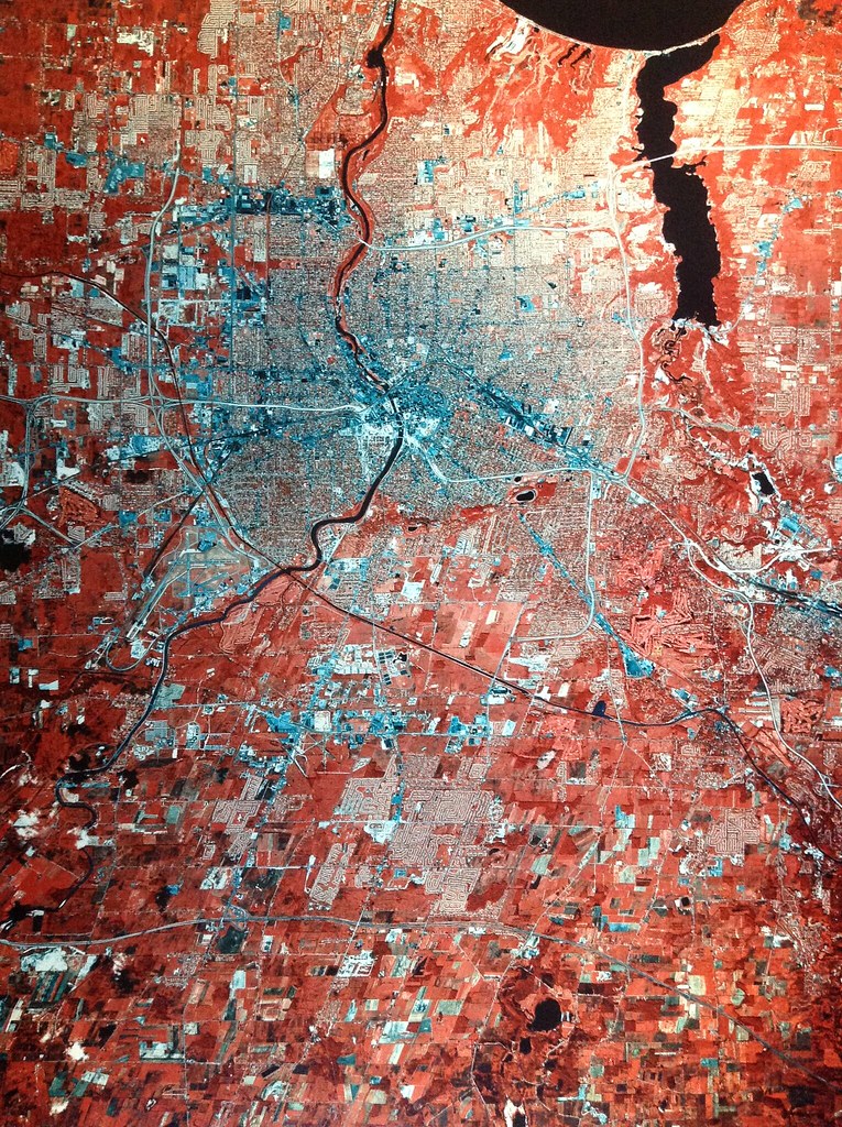
Notice any cool features? Notice how the outer loop is not complete? Nor is 490 going through downtown. 390 North stops at Ridge Road. Have you counted the airports? Is your house there? Is your neighborhood even there? Care to go for a ride through the real Can of Worms?
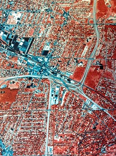 |
| Can of Worms |
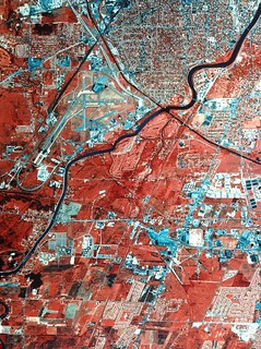 |
| Two airports |
All this serves to provide me with a sense of place, past, present, and future. I'm continually fascinated with why things are the way they are and the stories they have to tell. I hope you enjoy it as much as I do!


No comments: